Tiny Town


Tiny Town near Easley, SC is a treasure trove of holiday weirdness. I would refer to it as a celebration of Christmas but it's a bit of a stretch to call it that. Built over several decades, it features dolls and toys and other paraphernalia collected by the owners, some of which is Christmas related.  It's free of charge although donations are encouraged. It's supposedly open 5:30-9:30 nightly through the first of the year but when some friends and I went by this past Saturday (12/20/14) no one was around.  (It's even weirder in the dark though.)

It's definitely worth a stop. There's hot chocolate, a bonfire and even Santa on site.


Cedar Falls Park


Looking for another place to run recently, I decided to check out Cedar Falls Park.  It's a pretty nice little park located on the Reedy River in Fork Shoals. There are plenty of trails to run or walk on and nice waterfalls. It's located on the site of an old saw mill and contains on old damn as well. 


Get Out Greenville at Conestee Park

The next race in the Greenville Dirt Series occurs this Saturday at Conestee Nature Park.  It's a 10K but there is also a 50K, a 25K and 1.5 mile kid's race. 

Get out Greenville


Oktoberfests

The Greenville Oktoberfest kicks off this Wednesday at Noma Square and runs through Saturday. 

Schedule of Events: 


Opening Day Wednesday, Oct. 1st: 5pm-9pm – The ceremonial keg will be tapped! Entertainment by the Foothills Oompah Band.


• Oct. 2nd: 11am-9pm  Holzhackern Tyrolean Band will play from 5-9 p.m. and there will be a brats eating contest & a stein holding competition!

• Oct. 3rd: 11am-9pm  Channellheimmer Oompah Band plays from 5-9 p.m.

Oct. 4th: 11am-10p   Walhallah Bavarian Dancers will entertain from 11 a.m.-1 p.m., Channellheimmer Oompah Band from 1:30-5:30 p.m.,  and Steubenville Tootlers from 6-10 p.m.

The Greer Oktoberfest also occurs this Saturday from 12-10 PM.

The Asheville Okbtoberfest runs from 1-4 this Saturday as well. 


The Walhalla Oktoberfest occurs October 17-18.

Parker-Binns Estates and Mountain Brook Vineyards

I've written previously about a number of different wineries nearby, including the Overmountain Vineyard and the Green Creek Winery. Near these two, there are two others that recently opened. The one closest to Overmountain is Mountain Brook Vineyard, a small winery (possibly the smallest you've ever seen) housed in an old two story house. Although it's small, they've won several awards in the short time they've been in business. 


Just a few miles from there is a really impressive winery called Parker-Binns Estates. It's a beautiful landscape with a small farm, flower garden and two wood fired ovens where the owners cook pizza for their guests. 


Wilkins House


So the Wilkins House has been saved and successfully moved to its new home on Elm St. 


Old location.


New Location. 


Mountain State Fair

The Mountain State Fair in Fletcher, NC is going on this week. Looks like it could be a lot of fun. From their website:

The NC Mountain State Fair celebrates the people, agriculture, art and tradition that make our region great.   Our mission is to create unique experiences at an exceptional value in a safe, clean environment that is accessible to all.September 5th - 14th, 2014


Half-Moon Outfitters Moonshiner Night Trail Race

Moonshiner Night Trail Race

Event Director Info:
Joel Koontz
Half-Moon Outfitters
1420 Laurens Road
Greenville, SC29607
864-233-4001
email address
Next Weekend - 09/12/14

The Moonshiner 5k Night Race is being hosted by Half-Moon Outfitters on Friday September 12th at 8pm at Paris Mountain State Park.  The Moonshiner 5k will cover trails in Paris Mountain State Park.

All of the proceeds from the race will be donated to Paris Mountain State Park.


Save the Trails marathon and 65K utlra-run


Next weekend is the Dupont State Forest 65K trail run. (That's just a little over 40 miles.) I hope to be in good enough shape to run this next year.  About the event

Fully Supported 65k Ultra Run in Dupont State Forest. This is one loop with stocked aid stations. Route will include eastern slickrock, stream crossings, lots of climbing, and WATERFALLS. Please note, this is a Fundraising Fun Run... there will be no official time keeping at the Start/Finish. Dont feel up to 65k?? There is a Marathon option as well! 

ALL funds raised go to Pisgah Area SORBA to help build and maintain the area trails for use by trail runners and mountain bikers. These trails include Pisgah Forest, Bent Creek and other local trail projects. 


Hiking the Boulevard Trail to Mt. LeConte


Located at an elevation of 6642', Mt. LeConte is one of the highest peaks east of the Mississippi. There are five trails leading to the summit. I've written previously about taking the Alum Cave Trail to the summit. This time my oldest son Lance and I took the Boulevard Trail to the top. It's a 16 mile round trip to the top and back via this trail which makes for a long day hike but it's certainly doable. 

Begin by parking at the Newfound Gap parking lot in the Great Smoky Mountain National Park. From there, take the Appalachian Trail 3 miles north before turning onto the Boulevard Trail. 

Most of the trail is wooded but there are some great views along the way. Near the top there are some dangerous cliffs that might require some extra care particularly if hiking in snow and ice. 
At the top of the mountain is the LeConte Lodge, accessible only by one of the five trails, which means when there is a plumbing problem, as there was the day we were there, the only way to get more PVC pipe to the lodge is via helicopter.


Just before reaching the lodge, be sure to throw a stone on this large rock cairn as it's supposedly a Native American tradition to do so. 


Paris Mountain 7K

The Paris Mountain 7K is coming up next Saturday August 9th. It's the next race in the Greenville Dirt Series as mentioned below.  I did the Paris Mountain 12K back in May and it was a lot of fun. I'm looking forward to this one. 


Surviving the Overmountain Victory Trail

Three weeks ago I was deathly ill after suffering from a bite of some sort, most likely from a brown recluse, so when I decided to tackle the Overmountain Victory Trail I had no idea that neither remnants of that illness nor the copperhead on the trail would be the least of my worries.

The Overmountain Victory Trail is a 330 mile trail that starts in Abingdon, VA and traverses through Tennessee, North Carolina and South Carolina before winding back into North Carolina where it ends at Kings Mountain. It marks the route taken by American patriots in 1780 who traveled from Abingdon on horseback in the dead of winter to fight, and win, the Battle of Kings Mountain. One portion of it runs near Tryon, NC where a vineyard is named over it.

For the most part, IT IS NOT a hiking a trail, but rather a path made up of roads and unmarked trails through private land, however there is a small section that can be hiked.  

I've written previously about hiking the Appalachian Trail through Roan Highlands which is one of my favorite places, containing large balds, stunning views and boreal forests due to the high elevation.

To reach the Overmountain Victory Trail, park at Carver's Gap near the top of Roan Mountain. Travel northbound on the AT about five miles at which point you will find that the Overmountain Victory Trail crosses the AT (at Yellow Mountain Gap). From there, turning left onto the OVT will take you through a long descent of single track for about a mile and a half, before it then opens up to a double track that runs through a number of horse and cow pastures.


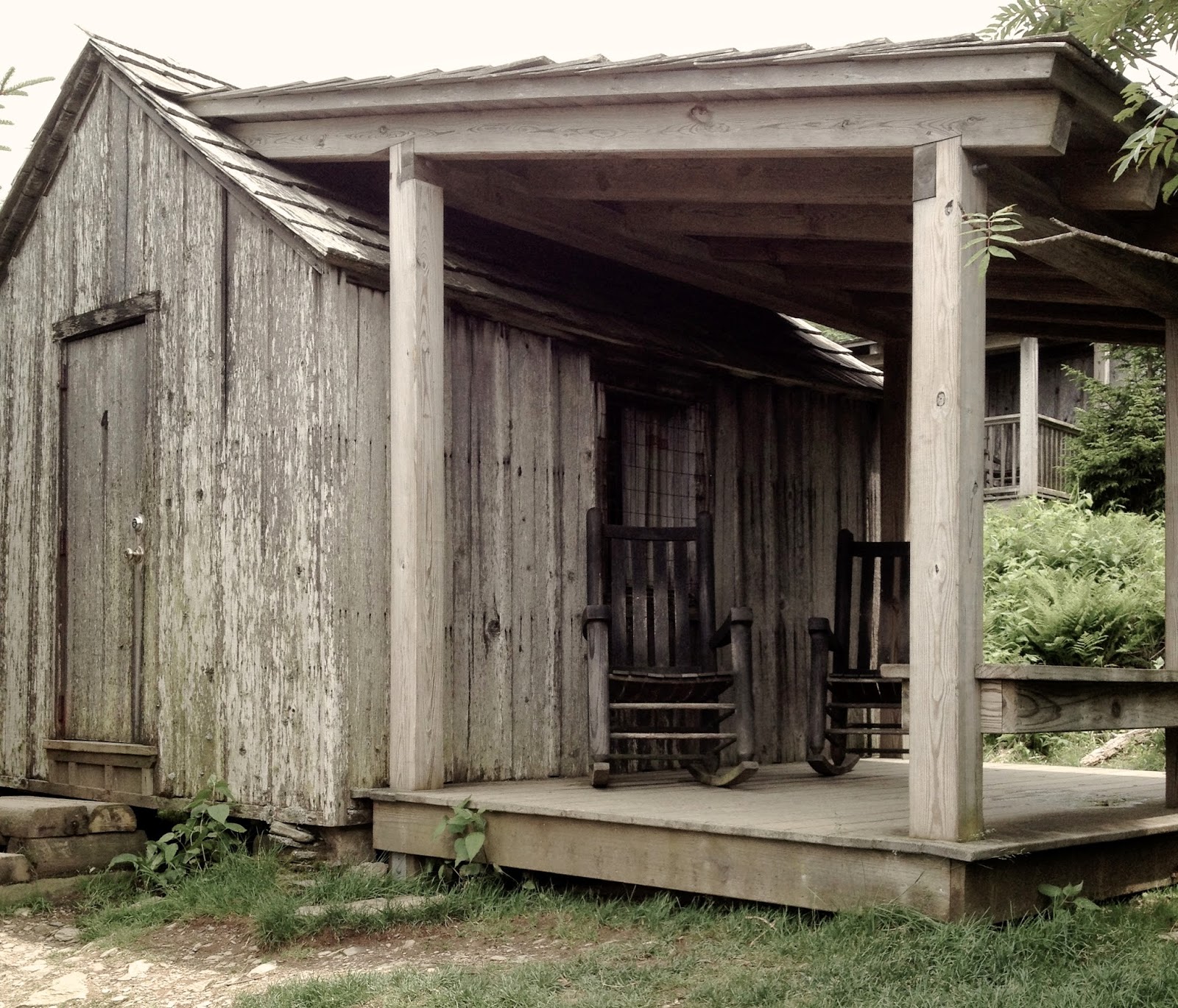
At times the trail is poorly marked and very much overgrown. Many of the signs have been knocked down. Just keep in mind that you need to stay close to the sound of the river and you'll be okay. Once you reach mile 3.5 or so (which would be 8.5 miles from Carver's Gap) you'll walk past a few homes, the first of which is clearly deserted (despite the fact that someone was boiling something in an old fifty-five gallon drum in the front yard). You'll then come to a paved road. This is the Hampton Creek Cove Recreation Area and it contains a small parking area. It also contains some locals who will eyeball you suspiciously from inside their trailers. 

At that point you have a couple of options. Turn around and hike back, or continue walking the OVT, which is now completely unmarked and follows a series of paved, and poorly marked, roads.  You could also start your hike from here if you don't mind walking up hill for three and a half miles. 

Camping is allowed on the trail but the forested area of the trail is very much overgrown and it would be difficult to pitch a tent. The pastured areas are also largely overgrown with black berry bushes and make for a less than ideal campsite but would work in a pinch.

What my two companions and I ended up doing was continuing to walk down the road a couple of miles to Hwy. 143 where we hitched a ride to the Roan Mountain State Park campground and spent the night there. While there we learned from the forest ranger that the locals are not fond of hikers and that the area is a den of methamphetamine production. That might explain the enormous number of viscous dogs along the path.


However should you decide to follow in our footsteps, here are the directions: From the Hampton Creek Cove Recreation area, turn right onto Hampton Creek Road. (It's not marked but it's the only road you'll see at that point.) Walk about a mile and you'll come to a crossroads. The road to the right is called Teaberry Road but isn't marked. On our map it said that it was  called Teaberry on both sides but to the left it's actually marked (sort of) with a sign that says "Dark Hollow Road." Both Dark Hollow Road and Teaberry Road have rather interesting ghost stories attached to them. There is a large unmarked grave off of Teaberry where supposedly a witch was buried and now haunts the site.  So don't go that way. Instead turn left on Dark Hollow where you will pass a cemetery that is also supposedly haunted by a woman who was murdered by the local wives who thought she was sleeping with all their husbands.  We didn't catch a glimpse of her though.

Follow that road until you get to another crossroads. If you go straight, you'll be on Sugar Hollow Road. If you turn right you'll be on Sugar Hollow Road. Yes you read that correctly. Go right, on Sugar Hollow, not straight on Sugar Hollow. Sugar Hollow to the right will take you to Hwy 143 and you'll see an RV park on your left. Unfortunately, as we discovered, they won't let backpackers stay there. So from there, turn left onto 143 and walk about a mile and a half to the state park campground located on the right side of the road.

For one more option to the trailhead, see the comment from Brenda W. below.

Despite the reputation of the area, we actually had nothing but pleasant interactions with people. A kid on an ATV stopped to give us directions. A guy on a tractor gave us even better directions. A guy on a riding lawn mower stopped mowing to try and help but actually gave us bad directions. A lady sitting on her porch offered us water. A guy on a homemade motorcycle with no brakes stopped as well. He had to use his feet to stop. He also gave us bad directions but not intentionally. Then a nice guy gave us a ride the last mile and a half and even gave us some ears of corn from his garden. Once we made it to the state park, a ranger gave me a lift back to my car and refused to let me pay him for his time and another camper gave us hamburgers for dinner. It was a hell of an adventure. Wish I had time to write about all the other things we saw, like the thousand or so centipedes that invaded our campsite the first night.

Distance from downtown Greenville: 126 miles


Scott Towers Demolition


Conestee Ice Breaker 8K

Date: January 25, 2014

Race Start: 9am

Venue:
Lake Conestee Nature Park
840 Mauldin Rd.
Greenville, SC 29607

Course: 8K Trail Run on mix of dirt, gravel and pavement

Beneficiary: Conestee Foundation

Entry Fee: $20 pre ($25 day of) registration


Description:
The Ice Breaker 8K is the first race of the Greenville Dirt Trail Run Series. The rolling course winds its way through the beautiful Conestee Park and features a mix of dirt, gravel and pavement. Greenville County Rec has been working hard to make Conestee one of the best facilities in the county, and this is a great opportunity to see all the fantastic improvements that have been made to this wonderful outdoor oasis. A portion of the proceeds from this event will be donated to the Conestee Foundation, a non-profit organization dedicated to developing Lake Conestee Nature Park and contiguous community lands into a nature park and wildlife sanctuary for public recreation.

2014 Greenville Dirt Series

Presented by:  Greenville Rec, Square One Events, and the Greenville Track Club

What is it:    A collection of 6 trail races over 10 months held at 2 different parks crowning one champion.  The races covering distances from 5k to 16k are designed to test your trail running skill and show you 2 of the most beautiful parks in the Upstate of South Carolina.

When:  Below are the 6 races that make up the 2014 Series.
•    Ice Breaker 8k            January 25th        Lake Conestee Nature Park
•    Easter Bunny Trail Hop 5K    April 19th         Lake Conestee Nature Park
•    Paris Mountain 12k        May 31st        Paris Mountain State Park
•    Paris Mountain     7k        August 9th        Paris Mountain State Park
•    Get Out Greenville 10k        October 4th        Lake Conestee Nature Park
•    Paris Mountain 16k        November 1st        Paris Mountain State Park

How it Works:    If you compete in a minimum of 4 races you will be in the running for the Series awards.  At the end of the 6 races we will take your 4 best results and add up the points. The first 8 finishers in each age group qualify for points. Awards will be given out for 1st, 2nd, and 3rd for the entire Series, as well as for each age group winner, male and female for each division. Special recognition will be given to folks who run ALL 6 races!

Signing Up: You can visit www.greenvillerec.com/trailraces for info and registration for each race. If you have questions please contact Joe Lanahan: joe@gcrd.org or 864-288-6470.
10 months, 6 races, 2 parks, 1 Champion!

Register


View Larger Map